

You’ve just spotted a property online that looks perfect—until you realise the boundaries are anything but clear. In South London, relying on a simple Land Registry plan won’t cut it when your fence, driveway, or extension plans hang in the balance. A property line survey near me, done right, offers precise clarity and peace of mind before you commit. Let’s unpack what sets a proper RICS boundary survey apart and why it matters for your next move.
Why a Boundary Survey Matters
When considering a new property purchase or planning significant alterations to your existing home, understanding the exact line of your boundary is crucial. A boundary survey, especially in bustling South London, helps avoid future disputes and ensures you are building or modifying within your legal limits. Unlike a basic Land Registry title, a professional boundary survey provides the detailed insights needed for informed decision-making.
If you’re curious about the potential costs involved, our post on how much a building survey costs in South London provides a clear breakdown of expenses.
Understanding the Differences
A boundary survey delves deeper than the Land Registry title plans. It includes precise on-site measurements, utilising advanced laser equipment to map out the exact boundary line. This process is essential for avoiding costly mistakes, especially when erecting new fences or planning extensions. If you’re searching for “land surveyors near me” in South London, our guide details what you should look out for.
For those planning substantial projects, our property & land survey cost calculator can be an invaluable tool in budgeting effectively.
Ready for clarity? Book a free 10-minute advice call with a local RICS surveyor or request a same-day fixed-fee quote. We prioritise chain deadlines and time-sensitive works. Call us or enquire via southsurveyors.co.uk to secure the next available South London site visit.
Understanding Property Line Surveys
When it comes to property lines, clarity is everything. Knowing precisely where your property begins and ends can make or break your project plans. Let’s explore what a boundary survey entails, when to commission one, and how it differs from a title plan.
What is a Boundary Survey?
A boundary survey provides a detailed map of your property’s exact lines and corners. This isn’t just about what looks right to the naked eye. It involves comprehensive measurements and calculations by a qualified surveyor, using specialised tools. The surveyor examines historical records, deeds, and maps alongside on-site evaluations. This ensures that you know exactly where your legal property boundary lies. For anyone considering a new fence, driveway, or even selling their property, this survey is essential. It prevents disputes and ensures you’re not encroaching on a neighbour’s land.
When to Commission a Survey
The right time to get a boundary survey is before any major property change. Whether you’re buying, selling, or planning an extension, a survey can save you headaches down the line. For buyers, it confirms property size and boundaries match the seller’s claims. For sellers, it’s about transparency, offering buyers a clear picture. And for homeowners, especially those planning to build, it ensures compliance with planning laws. Remember, waiting until after disputes arise often means legal battles and delays.
Boundary Survey vs Title Plan
While a title plan gives a rough idea of your property boundaries, it’s not detailed enough for precise planning. Title plans are based on scaled maps and can be vague, often leading to disagreements. In## Understanding Property Line Surveys
Getting clear on property boundaries is crucial when buying or altering a home. Let’s explore what makes boundary surveys essential.
What is a Boundary Survey?
A boundary survey pinpoints the exact lines of your property. Unlike basic title plans, it uses precise on-site measurements and advanced tools. These surveys help ensure any changes, like new fences or extensions, stay within legal boundaries. This accuracy is vital, especially in areas like South London, where properties are closely packed and sometimes irregularly shaped. If you plan to make changes, understanding these specifics can prevent future disputes.
When to Commission a Survey
Consider a boundary survey when buying a property, planning major renovations, or facing neighbour disputes. Knowing the exact property lines helps avoid costly legal issues. For instance, if you plan to build a new driveway or garden studio, having precise boundary measurements ensures compliance with legal requirements. It’s a proactive step that saves you from unexpected surprises down the line.
Boundary Survey vs Title Plan
Many people confuse boundary surveys with title plans. A title plan provides a general overview, often lacking the precision required for detailed property changes. In contrast, a boundary survey offers an exact and detailed map of your property’s perimeters, accounting for any quirks or historical changes in the landscape. This level of detail is particularly beneficial in older neighbourhoods where land may have shifted or been re-divided.
The Survey Process Explained

Understanding the survey process can demystify what to expect when you commission a boundary survey.
Desktop Research Essentials
Surveyors start with thorough desktop research. They gather existing maps, historical records, and legal documents. This step ensures they have all necessary information before visiting the site. It sets the foundation for accurate on-site work. By understanding the property’s history and previous changes, surveyors can provide a more comprehensive assessment.
On-Site Measured Survey Overview
On-site, surveyors use high-tech tools like total stations or GPS equipment to measure the property lines. This hands-on approach delivers precision. Surveyors walk the property, noting any physical markers like fences or walls. This meticulous process ensures every detail aligns with both legal documents and physical realities.
Mapping and Reporting Insights
Once measurements are complete, surveyors create detailed maps and reports. These documents are not just technical; they are crafted to be clear and useful for property owners. You receive a visual and written representation of your boundaries, helping you make informed decisions about your property.
Navigating Common South London Quirks
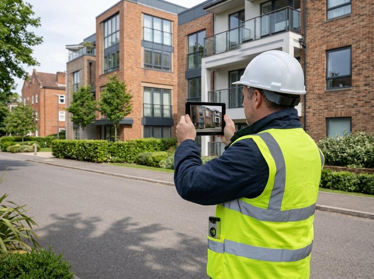
Every area has its quirks, and South London is no exception. Here’s how to navigate common issues.
Victorian Terrace Party Walls
Victorian terraces often share party walls. These shared structures can complicate boundaries. A boundary survey clarifies responsibility and legal limits for maintenance or changes. Understanding these details is crucial when considering renovations. It’s a proactive way to prevent disputes with neighbours over shared property elements.
Historic Garden Jogs and Alleyways
Older properties might have unusual features like garden jogs or alleyways that aren’t clearly documented. A boundary survey identifies these quirks, ensuring you know exactly where your property starts and ends. This clarity is essential for maintaining good neighbourly relations and planning any garden or land changes.
Preparing for a Smooth Survey Visit
Preparation can make your survey visit smooth and efficient. Clear access to property boundaries, remove obstacles and ensure any relevant documents are ready for the surveyor. This preparation helps surveyors work efficiently and reduces the time needed on-site. It’s a small step that can lead to a quicker and more accurate survey outcome.
Frequently Asked Questions
What is the purpose of a boundary survey?
A boundary survey defines the exact perimeter of a property. It helps clarify property lines for legal, construction, or dispute resolution purposes. It provides precise measurements and maps that are crucial for informed property decisions.
How does a boundary survey differ from a title plan?
A boundary survey is more detailed than a title plan. While a title plan offers a general property outline, a boundary survey provides precise measurements and detailed maps. This makes it essential for construction or resolving boundary disputes.
When should I get a boundary survey?
Consider a boundary survey when buying property, planning significant renovations, or if there’s a boundary dispute with a neighbour. It’s a proactive way to ensure legal compliance and avoid future issues.